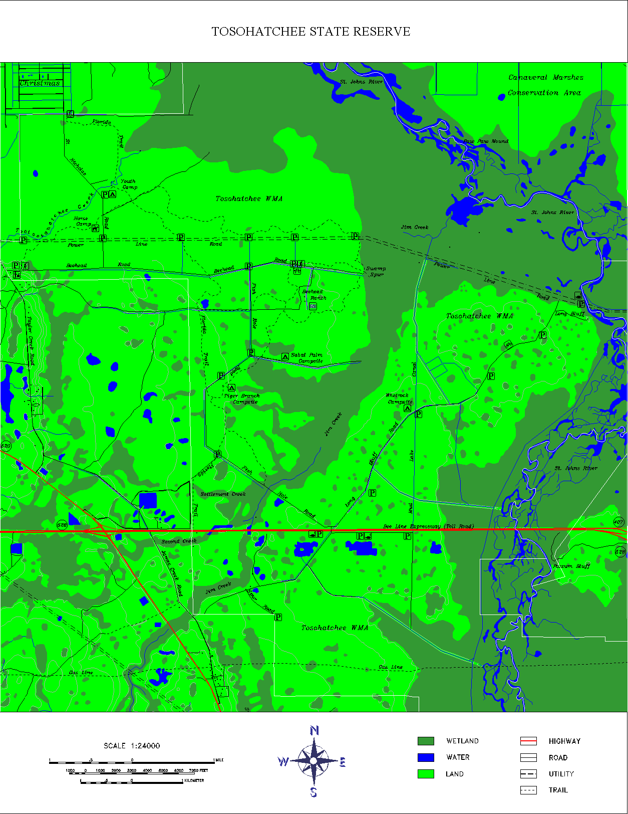
 A digital line graph (DLG) contains a wide variety of information like topography, hydrography, boundaries, roads, and utility lines. The data is in vector format and the map features are stored as points, lines, and polygons. This is a map of the 28,000 acre Tosohatchee State Reserve in Orange County, Florida which includes USGS DLG data to show the streams, rivers, lakes, wetlands, roads, railroads, power lines, buildings and other geographic and man-made features. It might also be classified as a hypsometric map because a third variable is represented by the use of different colors to delineate wetlands, water and land. There are also lines that may/may not be contours showing the shape and elevation of this area. The website has some great information about this reserve and several different detailed maps for public use.
Click twice on the map to get a large, clear image.
Link to website:
http://www.outintheboonies.com/Tosohatchee/
No comments:
Post a Comment